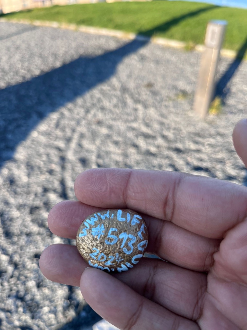
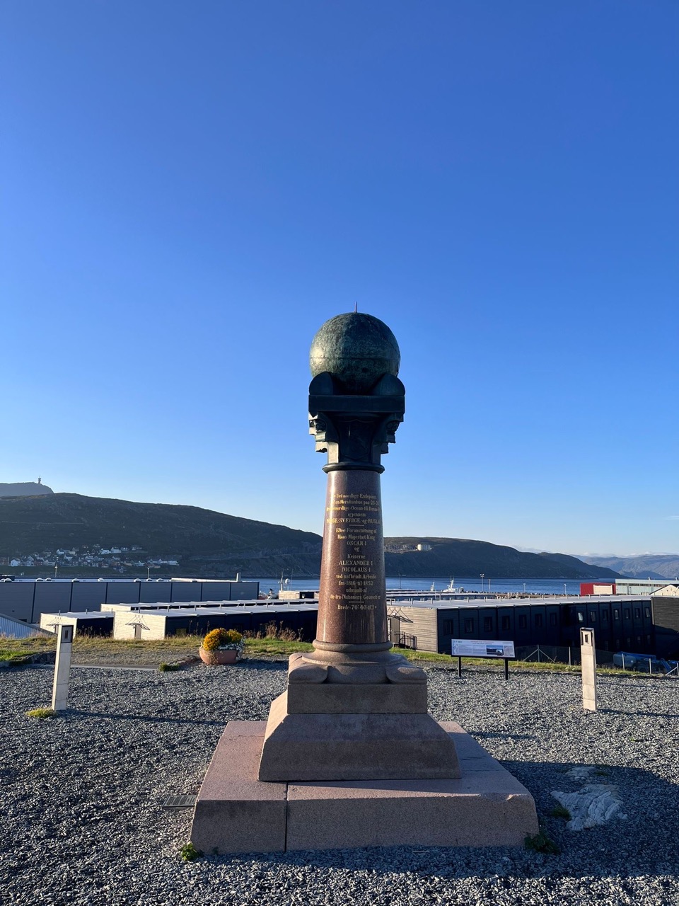
About this Stone
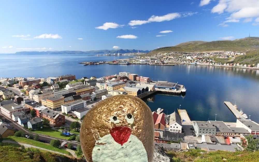
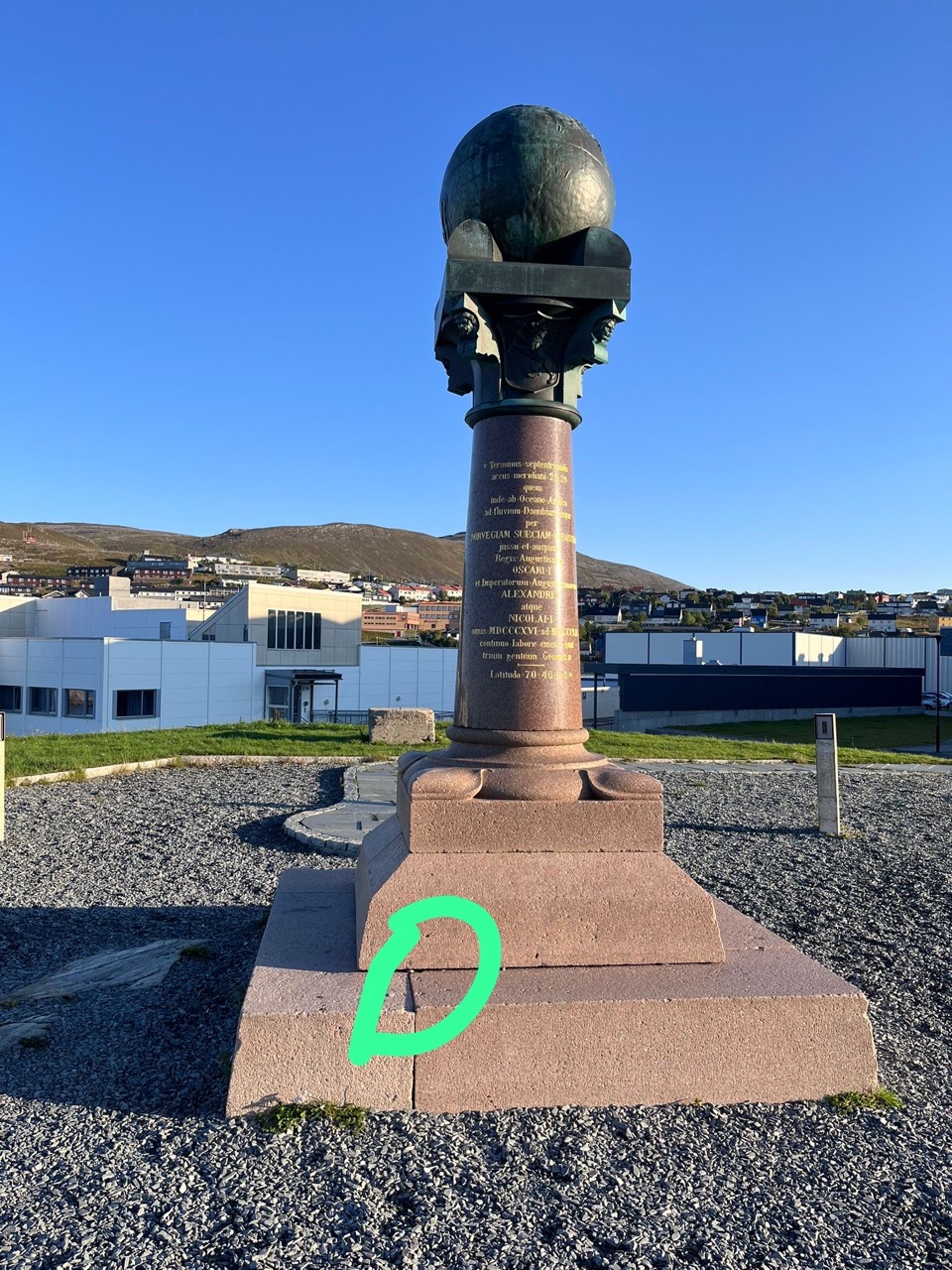
This spot marks one of the northernmost points of the Struve Geodetic Arc, a UNESCO World Heritage Site that stretches across ten countries from Norway to the Black Sea. Established between 1816 and 1855 by astronomer Friedrich Georg Wilhelm Struve, this chain of survey stations represents the first accurate attempt to measure the size and shape of the Earth. Standing here connects you to a monumental scientific achievement that literally spanned continents. The Arctic location presented extraordinary challenges during its establishment—harsh weather and rugged terrain made this northernmost station one of the most difficult to survey. It’s a place where history, geography, and human ambition converge in one remarkable coordinate.
📷 Photos
🗺️ Location
70.6699636, 23.6635232 Open in Google Maps ↗