Zdieľať

Po naskenovaní sa otvorí tento kameň. Vytlač si ho, nalep na kartičku alebo ho zdieľaj.
#513 The Struve Geodetic Arc Norway
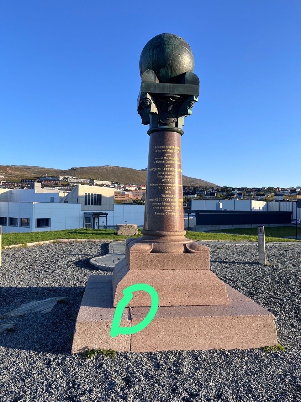
The Struve Geodetic Arc Norway, Hammerfest, Nórsko
O tomto kameni
Strojovo preložené z angličtiny · zobraziť originál
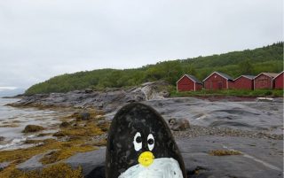
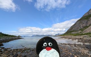
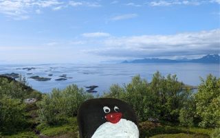
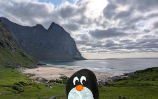
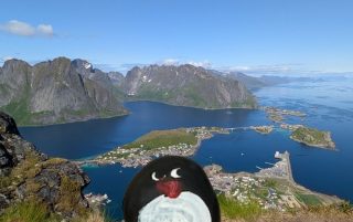
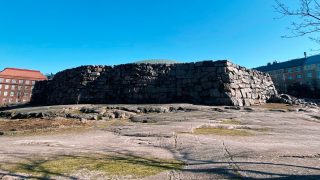
Fotky
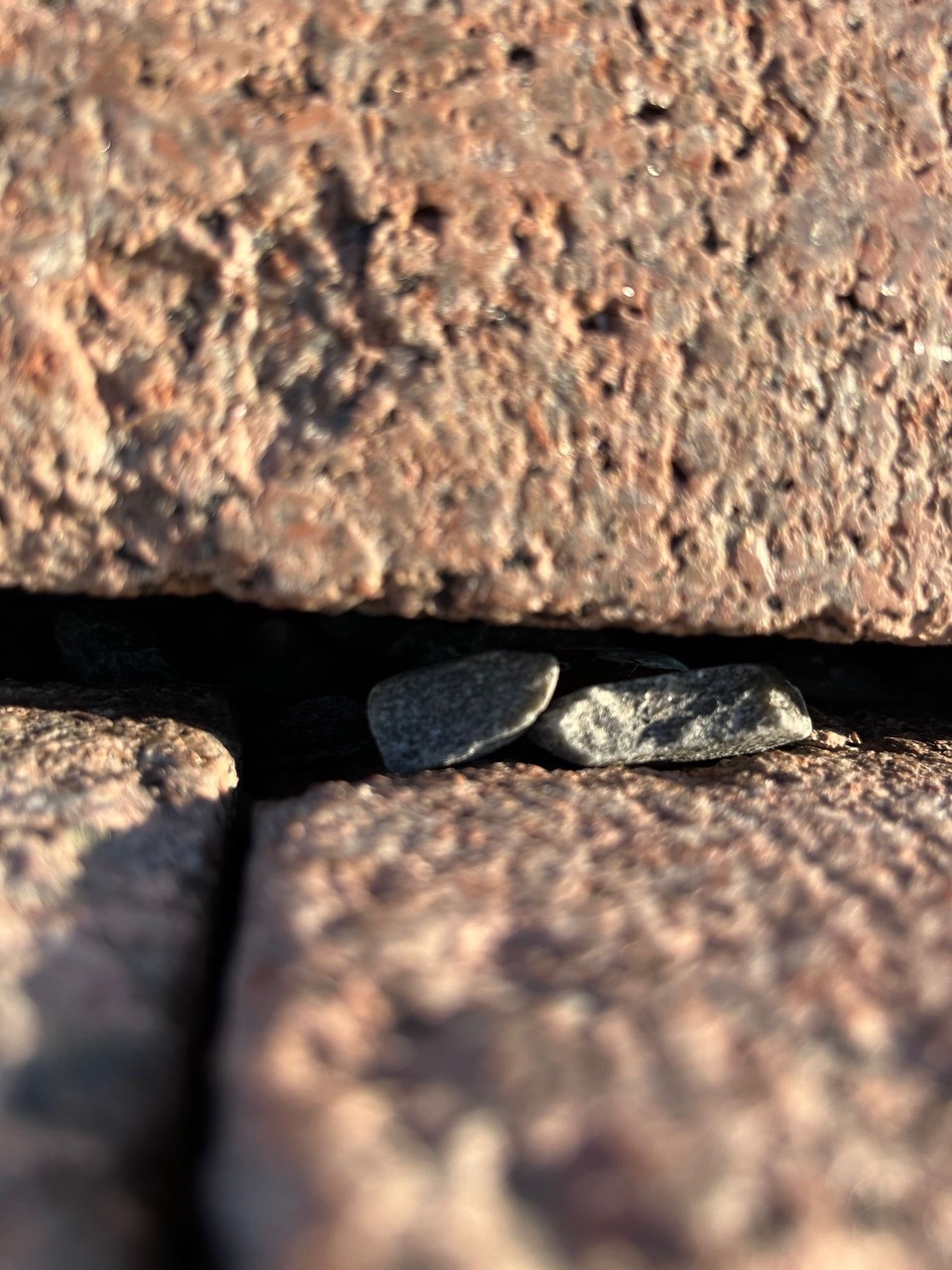
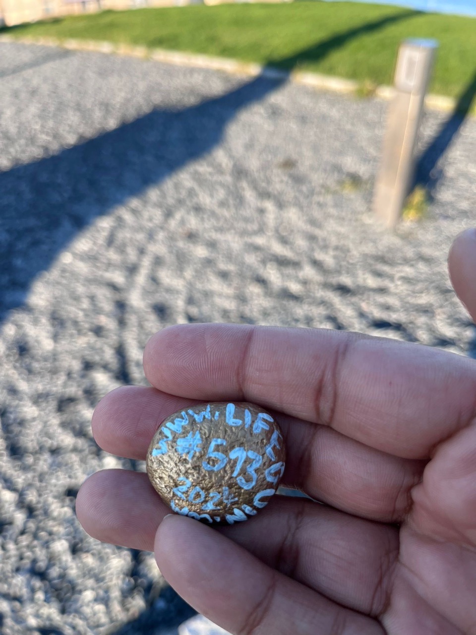
Video
Video sa prehrá z YouTube (Google) až po stlačení tlačidla.
O kameni
🐧 Našiel sa tento kameň?
Zatiaľ ho nikto nenašiel — tvoj nález môže byť prvý!
„Nie“ otvorí krátke hlásenie, aby sme ho mohli označiť ako stratený — číslo kameňa sa vyplní samo.

Je teraz ukrytý inde? Napíš nám, kde je teraz.
Chceš ukryť kameň?
Pridaj sa k celosvetovému hľadaniu tučniakových kameňov a rozdaj trochu radosti.
Chcem štartovací balíčekPodpor Penguinstones
Pomôž pokryť materiál a poštovné pre nových členov komunity.
Podpor nás na Ko-fiMiškov mesačný e-mail (po anglicky)
Nové tučniakové kamene a cestovateľské príbehy, raz za mesiac.
Darček zadarmo: cestovateľský plánovač na vytlačenie po potvrdení e-mailu.
Prihlásiť sa